3D Reality Captures
High-Precision Laser Scanning Using Industry-Leading Technology
Capture reality.
Deliver precision.

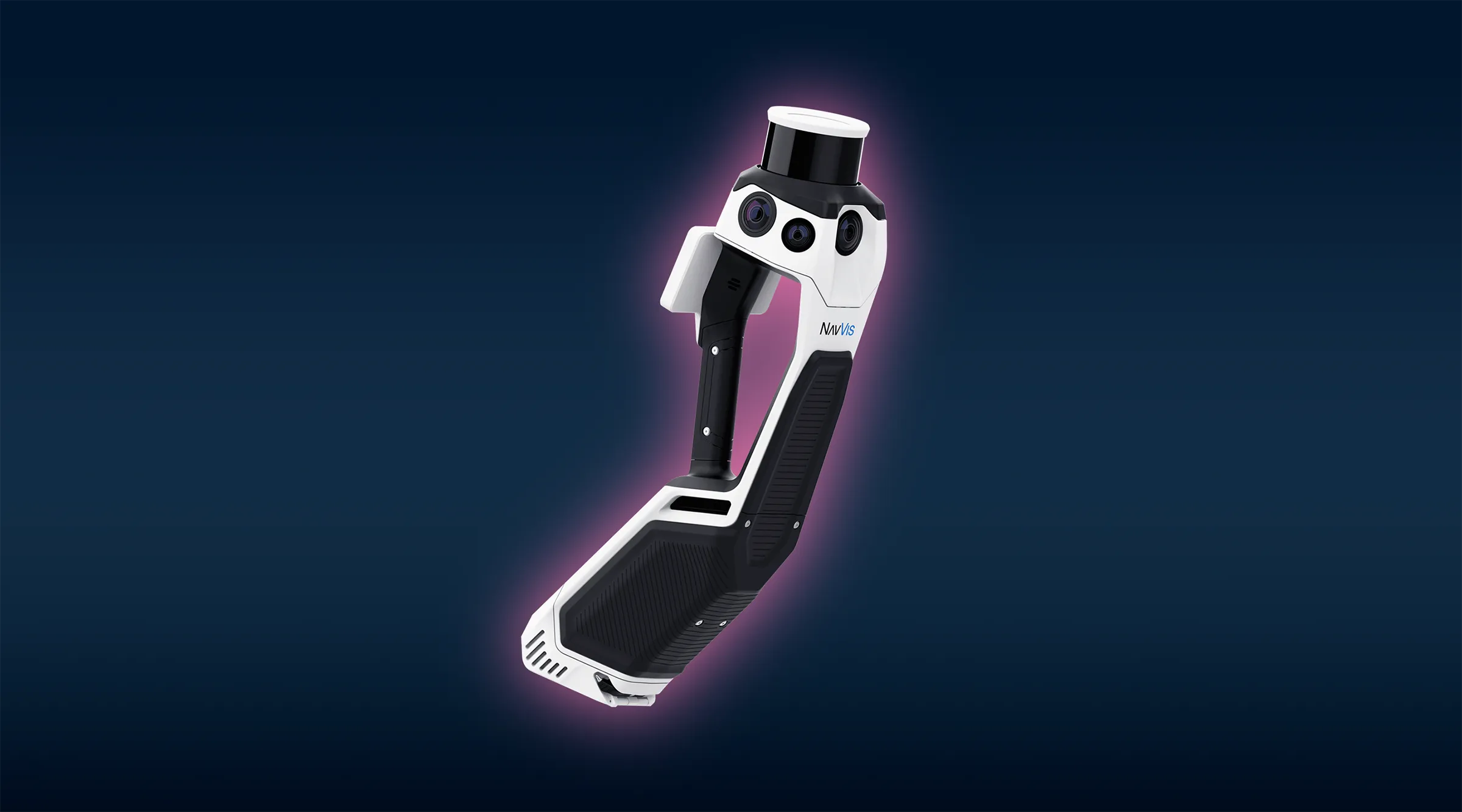
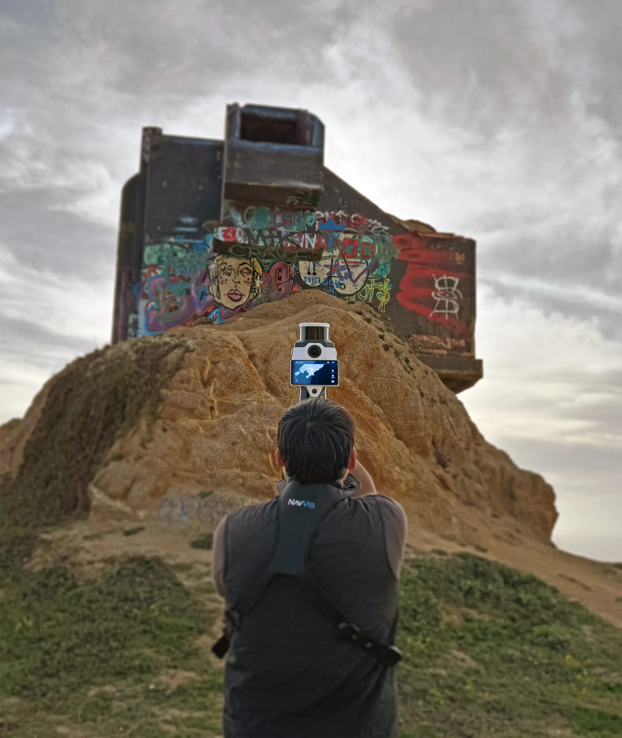
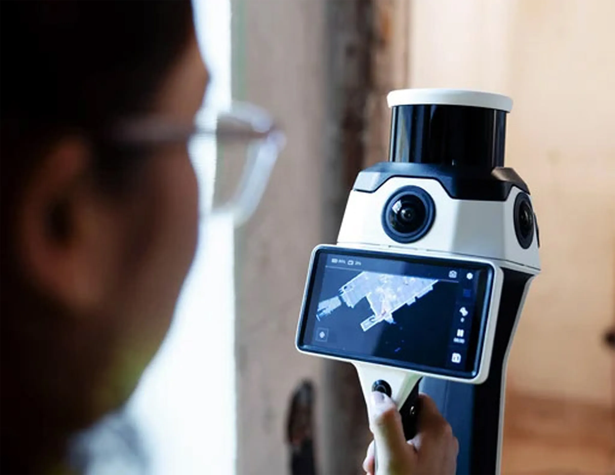
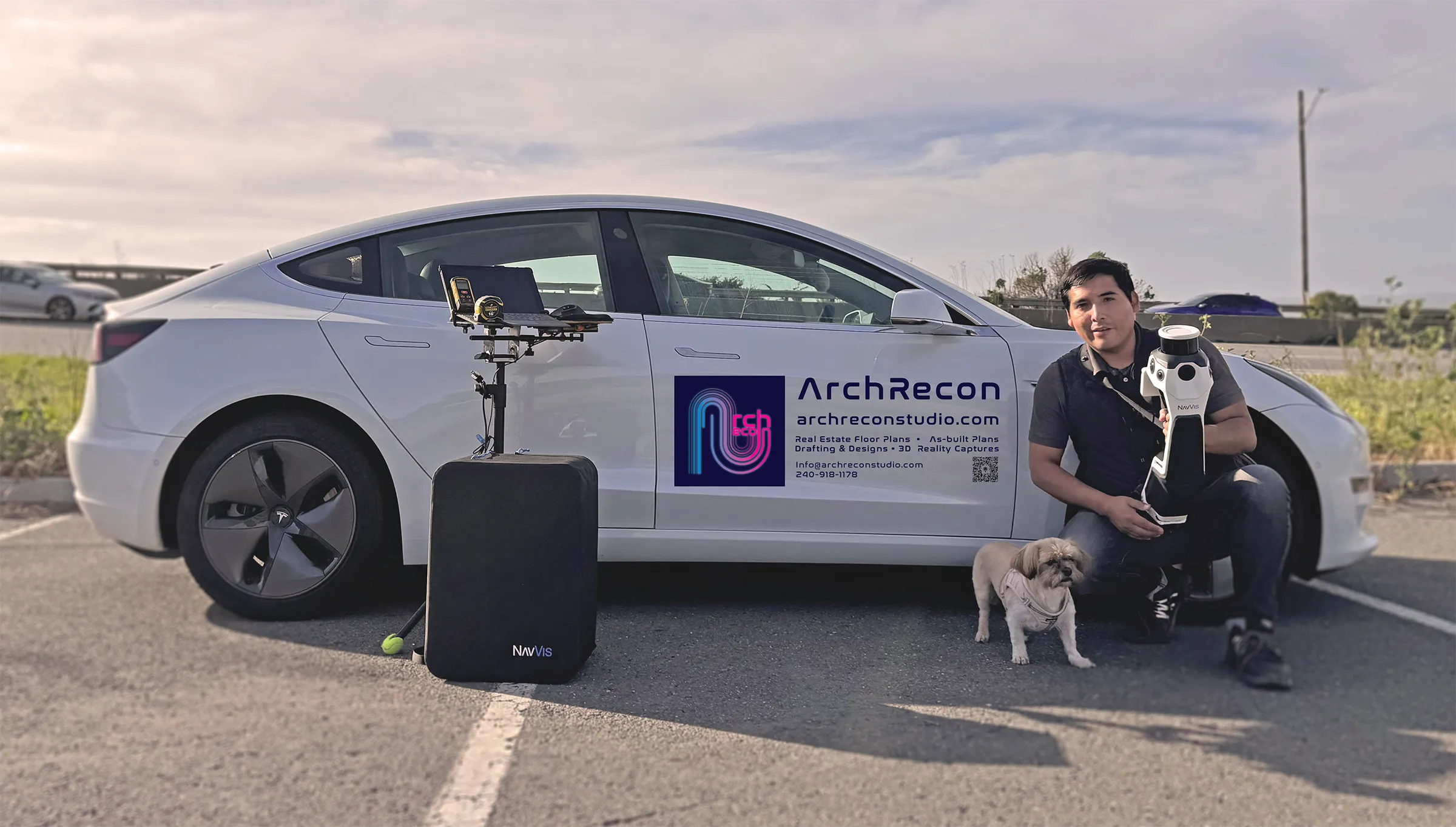
We utilize advanced mobile laser scanning systems from NavVis, a global leader in reality capture and spatial data technology. These systems allow us to capture highly accurate spatial data faster and more efficiently than traditional methods—without compromising quality.
Designed for Professionals Who Need Accuracy
If accuracy matters, and mistakes are costly, this service is built for you.

Architects

Engineers

Construction

Visualization
01
Site Walkthrough & Planning
We review scope, access, and deliverables to ensure the scan captures exactly what your team needs.
02
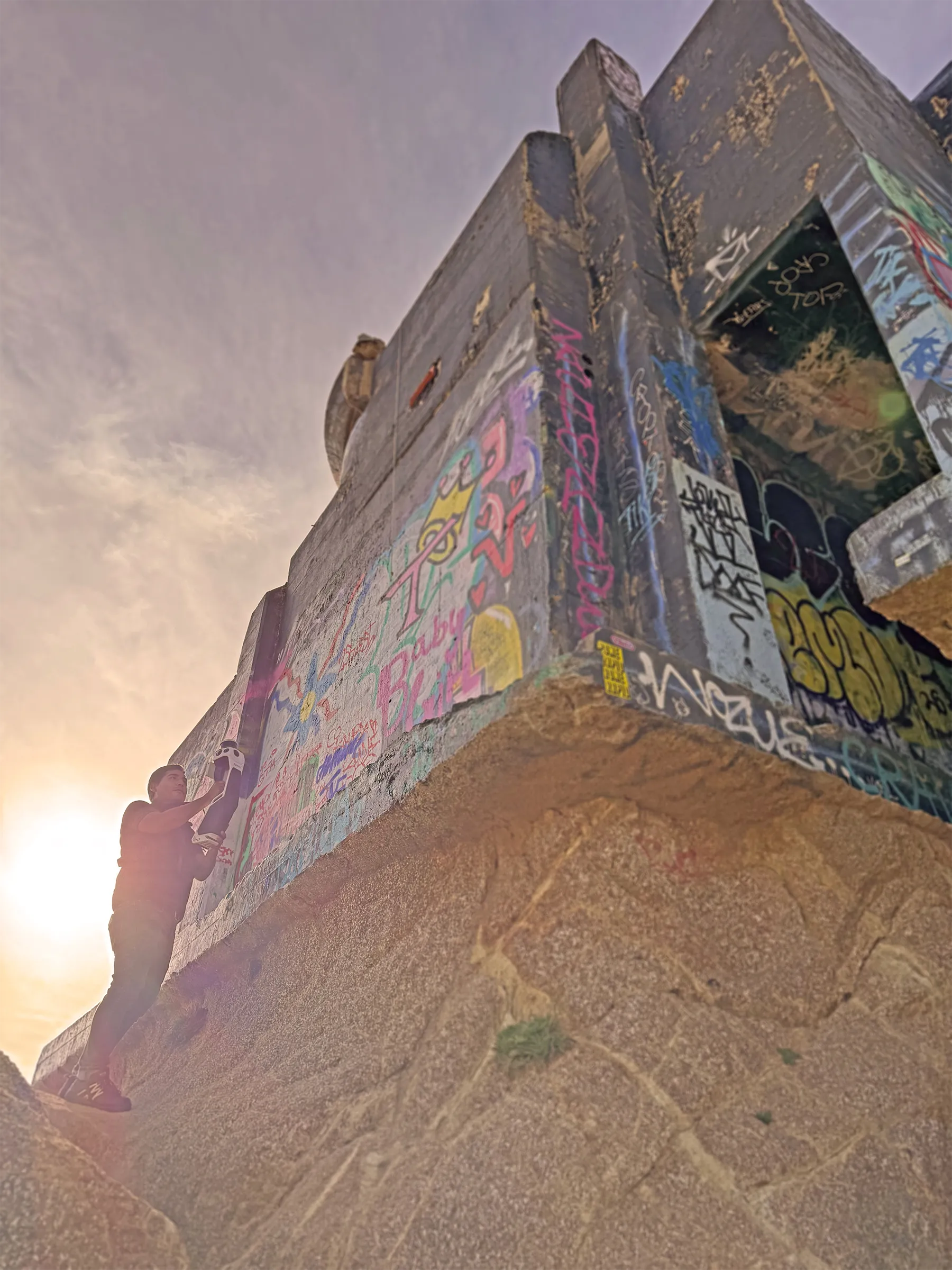
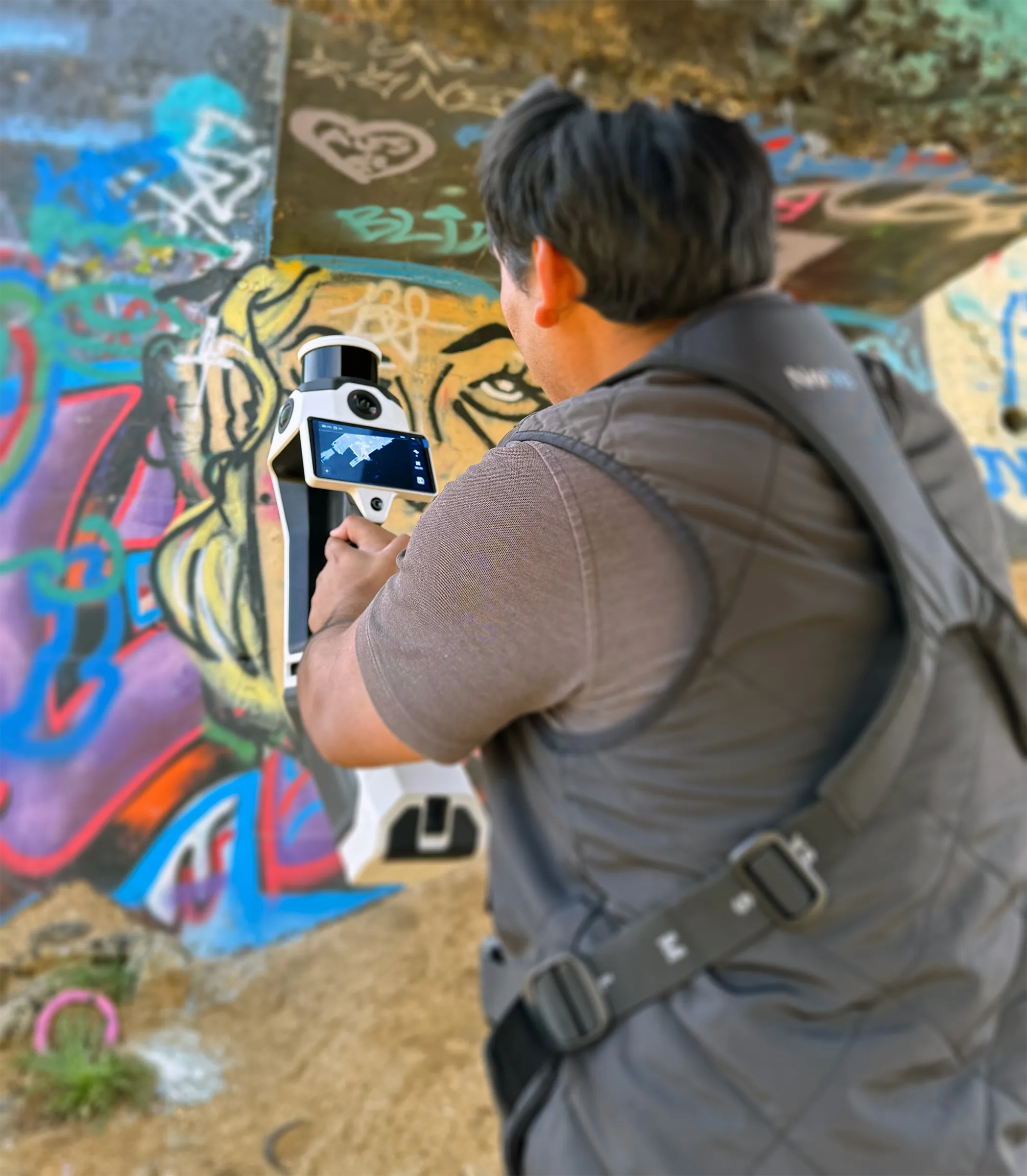
High-Precision Laser Scanning
Using professional mobile laser scanners, we capture millions of spatial data points quickly and accurately.
03
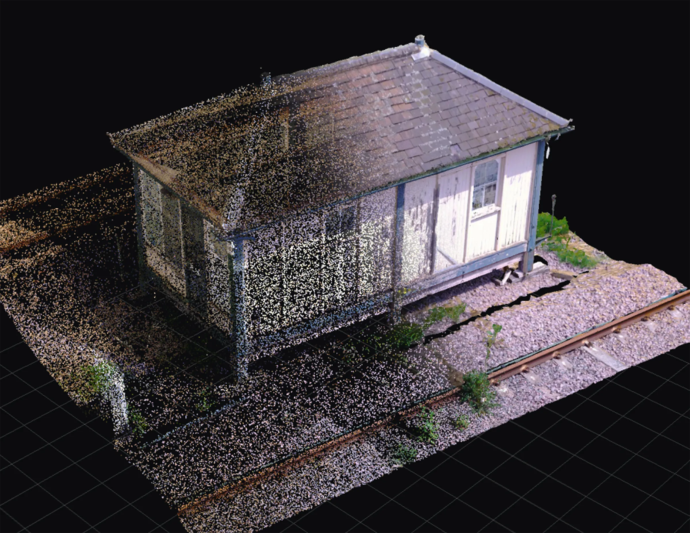
Data Processing & QA
Point clouds are registered, cleaned, and quality-checked to meet professional standards.
04
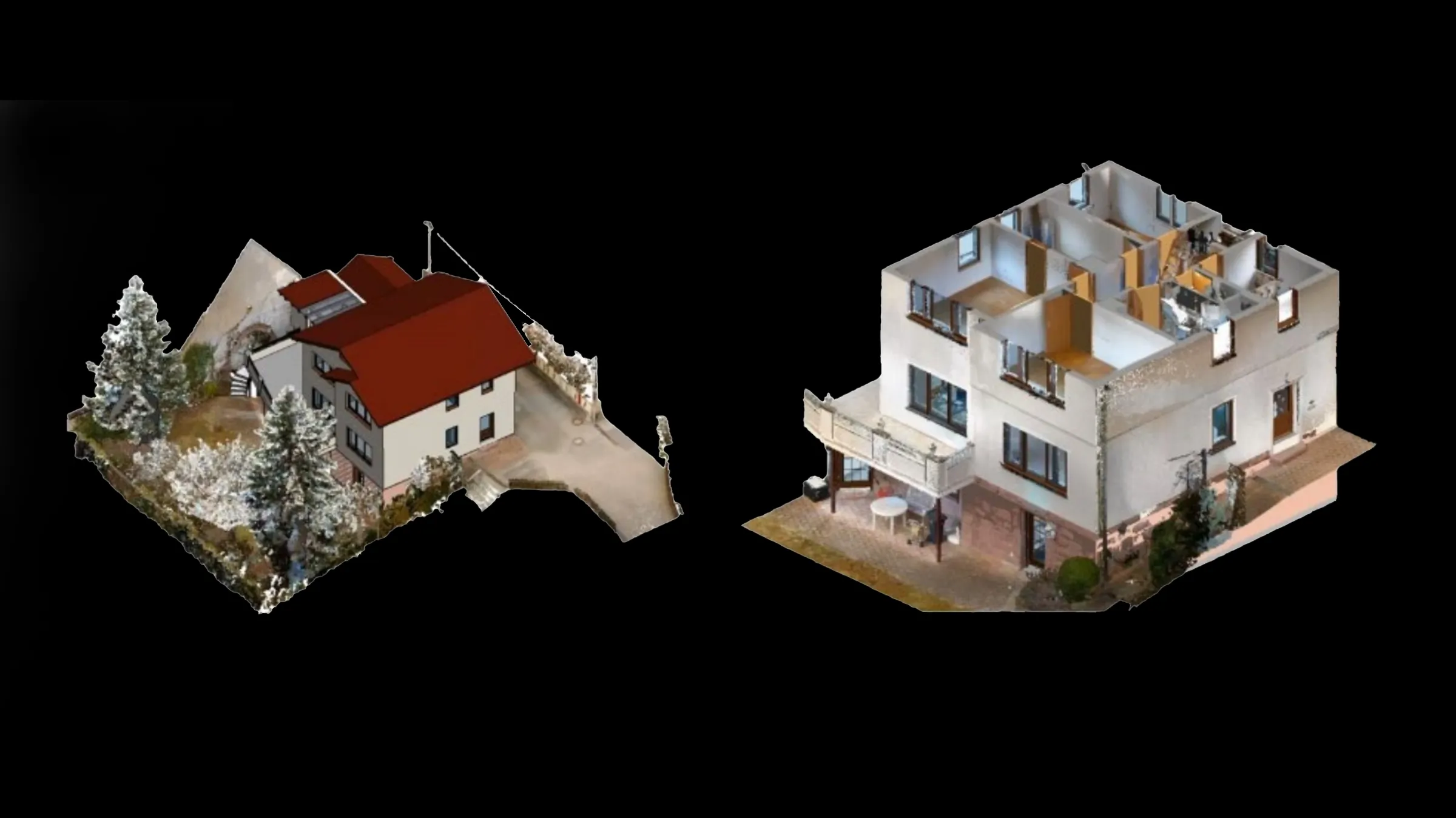
Deliverables Ready for Design
Data is prepared for BIM, CAD, and 3D modeling workflows.
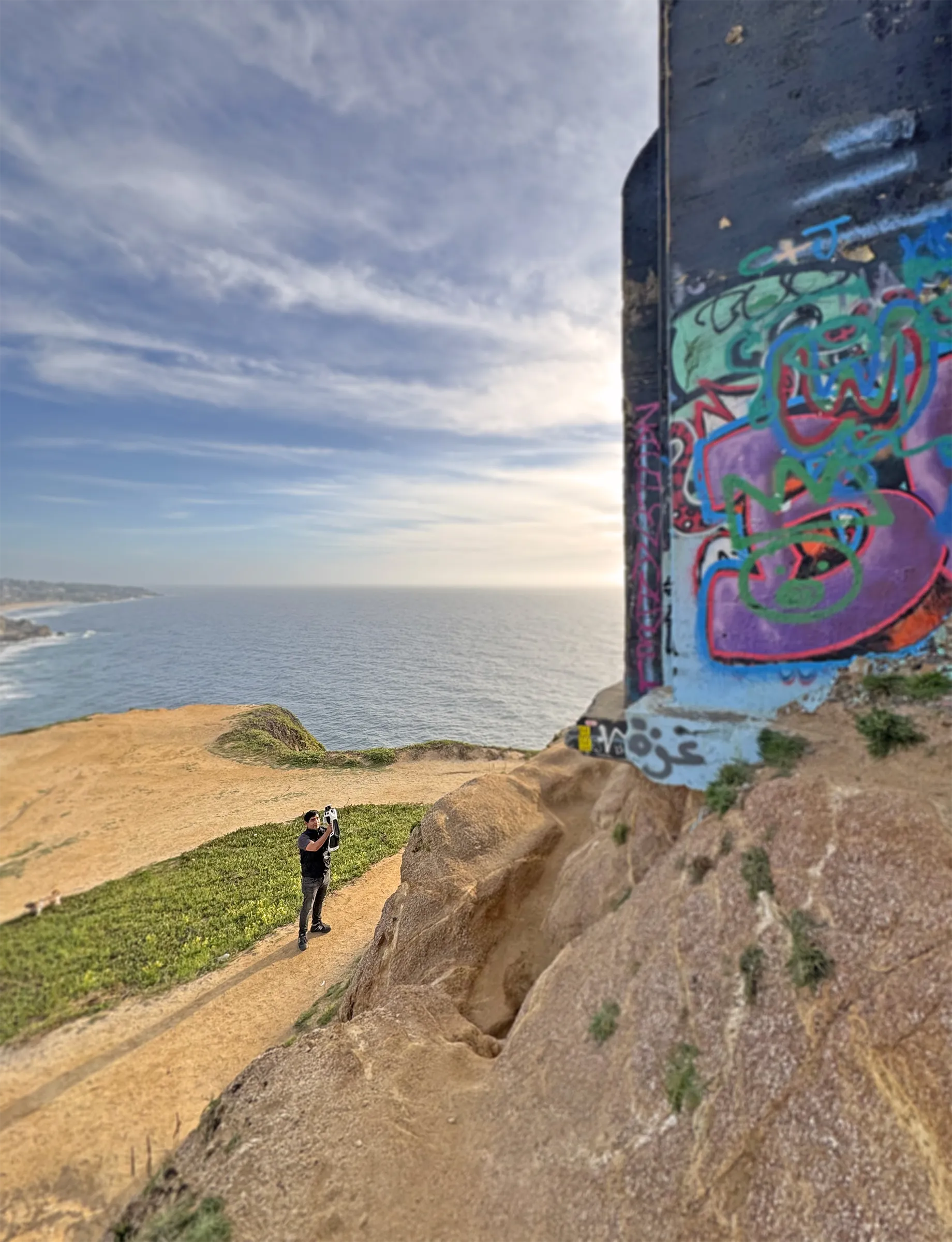
On-Site, Anywhere You Need Us!
Laser Pricing
Transparent pricing based on the size of your project.
SqFt
0 - 4,999
5,000 - 9,999
10,000 - 14,999
15,000 - 20,000
Cost
$2,000
$4,000
$6,000
$8,000
Final pricing may vary based on complexity, access, and site conditions